MUST SEE: 'Hand of darkness' cloud forms during Alberta storm

Alberta has been a prime target zone for severe thunderstorms through much of this week across the Prairies, with some especially strong storms resulting in major impact for many communities across southern sections of the province on Thursday.
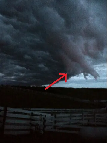
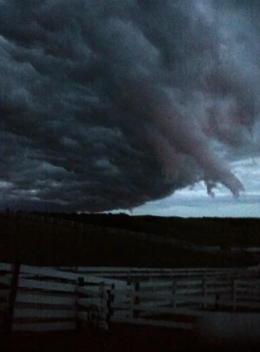
During these storms an unbelievably eerie scene occurred near the County of St. Paul No. 19 in northeastern Alberta - the clouds looked like a hand was stretching out of the stormy sky. The incredible photo was captured and submitted by Lorraine Ference.
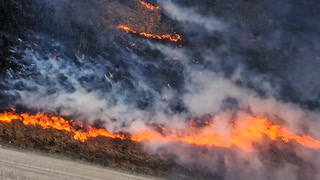
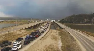
Further south, flash flooding and blinding hail brought traffic to a standstill along the Trans Canada Highway, while Calgary Police urged drivers to stay off the roads due to the heavy rain bogging down cars. More funnel cloud sightings spanned the afternoon skies as the risk for tornadic activity lasted well into the evening hours.
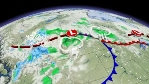
The thunderstorm risk continues into Friday with the threat for the strongest storms and some tornadic activity pushing east into parts of Saskatchewan. Be sure to stay up-to-date on the ALERTS in your area when severe weather strikes.
See below for the damaging impacts of this latest round of summer storms:
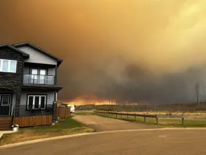
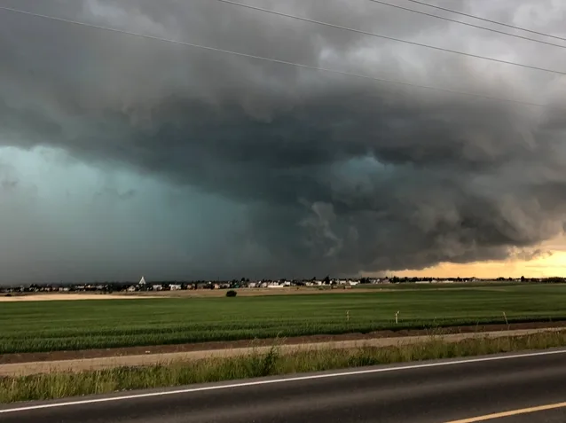
Spruce Grove, Alberta. Submitted by Tammie Brinson
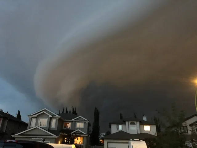
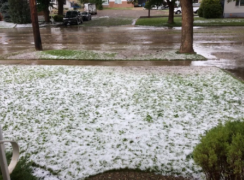
Medicine Hat, Alberta. Submitted by Troy Aberle
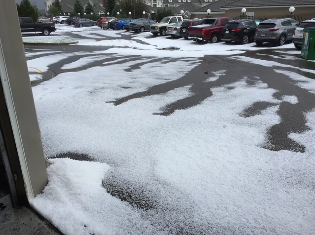
Medicine Hat, Alberta. Submitted by Trish Carr
Medicine Hat, Alberta. Submitted by Mark Rust