Active Alerts Angler, TX
Do not drive cars through flooded areas.Caution is urged when walking near riverbanks.Turn around, don't drown when encountering flooded roads. Most flooddeaths occur in vehicles.Motorists should not attempt to drive around barricades or drivecars through flooded areas.For more hydrologic information, copy and paste the following websiteaddress into your favorite web browser URL bar:https://water.noaa.gov/wfo/SHVThe next statement will be issued Wednesday evening at 930 PM CDT.
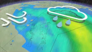
...The Flood Warning continues for the following rivers in Texas...Lake Fork Creek Near Quitman affecting Wood County.For the Lake Fork Creek...including Quitman...Moderate flooding isforecast.* WHAT...Minor flooding is occurring and moderate flooding isforecast.* WHERE...Lake Fork Creek near Quitman.* WHEN...Until further notice.* IMPACTS...At 19.0 feet, Preparations should be rushed tocompletion for major flooding problems. Some barns in thefloodplain will be facing flooding.* ADDITIONAL DETAILS...- At 8:15 PM CDT Tuesday the stage was 17.9 feet.- Bankfull stage is 16.0 feet.- Recent Activity...The maximum river stage in the 24 hoursending at 8:15 PM CDT Tuesday was 17.9 feet.- Forecast...The river is expected to rise to a crest of 18.9feet tomorrow evening.- Flood stage is 16.0 feet.- Flood History...This crest compares to a previous crest of18.9 feet on 02/07/1986.- http://www.weather.gov/safety/flood
Turn around, don't drown when encountering flooded roads. Most flooddeaths occur in vehicles.Be aware of your surroundings and do not drive on flooded roads.In hilly terrain there are hundreds of low water crossings which arepotentially dangerous in heavy rain. Do not attempt to cross floodedroads. Find an alternate route.
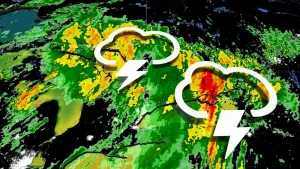
* WHAT...Urban area and small stream flooding caused by excessiverainfall is expected.* WHERE...A portion of northeast Texas, including the followingcounties, Cherokee, west central Gregg, west central Rusk, Smith,southwestern Upshur and southern Wood.* WHEN...Until 815 AM CDT.* IMPACTS...Minor flooding in low-lying and poor drainage areas.Water over roadways.* ADDITIONAL DETAILS...- At 515 AM CDT, Doppler radar indicated heavy rain due tothunderstorms. This will cause urban and small streamflooding.- Some locations that will experience flooding include...Tyler, Jacksonville, Whitehouse, Gladewater, Rusk, Mineola,Lindale, Overton, Bullard, Troup, Quitman, Big Sandy,Hawkins, Arp, Mixon, Mount Selman, Reese, Hoard, Ponta andHainesville.- http://www.weather.gov/safety/flood